
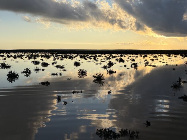
Wetlands are among southern Africa’s most valuable natural assets. They support biodiversity, regulate water resources and help communities adapt to climate change. Yet many wetlands remain poorly mapped, inconsistently monitored and insufficiently represented in national planning and reporting processes.
To help address these challenges, the South African National Biodiversity Institute (SANBI), the French Biodiversity Agency (Office français de la biodiversité – OFB) and regional partners are implementing the project Protecting water resources in southern Africa as a key element of climate change adaptation and biodiversity protection, with the support of the Adour Garonne Water Agency, Expertise France, the French Ministry of Environment and OFB. .
The project is being delivered through three complementary objectives that together strengthen regional collaboration, improve wetland information and support evidence-based environmental decision-making across southern Africa.
Building the scientific foundation
As part of Objective 1, the project supported the participation of SANBI experts in the regional workshop Monitoring Trajectories of Loss and Change for the Cubango-Okavango River Basin, held in Maun, Botswana, in July 2025.
Organised by PLuS Alliance, the Okavango Research Institute and the Permanent Okavango River Basin Water Commission (OKACOM), the brought together researchers, water managers, policy makers and technical experts to discuss freshwater ecosystem mapping, biodiversity and ecosystem services across the basin.
Through their participation, SANBI experts contributed technical knowledge,engaged in discussions on freshwater ecosystem mapping and management, and furthered their own capacity in ecosystem red listing and community engagement. The workshop also provided an opportunity to identify important gaps in freshwater data and transboundary information, and to consider possible next steps for strengthening regional collaboration.
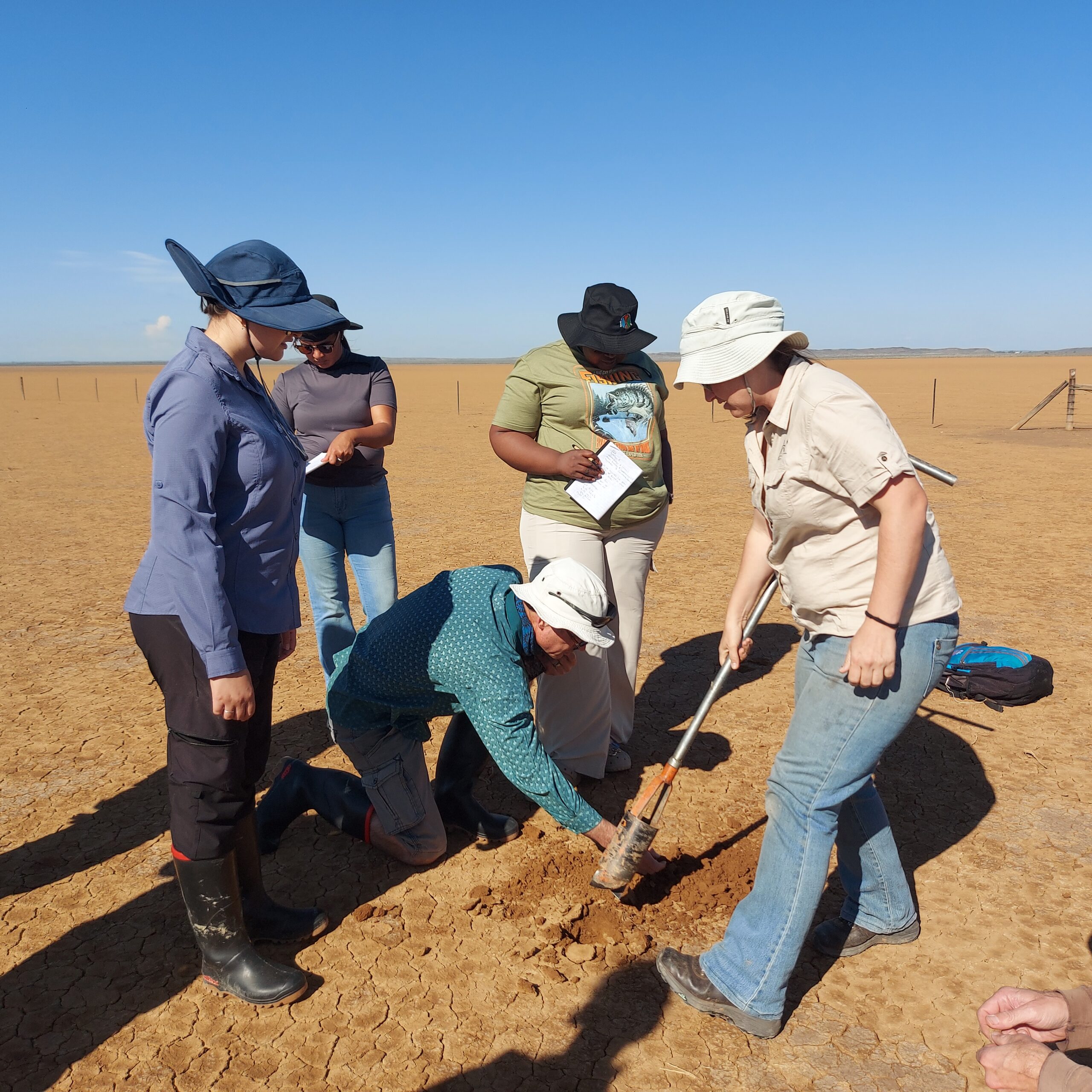
Pic: Nancy Job
Taking regional priorities to the global stage
The project’s second objective expanded this collaboration internationally through participation in the Fifteenth Meeting of the Conference of the Contracting Parties to the Ramsar Convention on Wetlands (Ramsar COP15), held in Victoria Falls, Zimbabwe.
With support from the project, SANBI participated as part of South Africa’s official delegation while also promoting the Southern African Ramsar Regional Initiative (SARRI).
During COP15, SANBI representatives participated in side events, panel discussions and bilateral meetings, sharing South Africa’s experience in developing the National Wetland Map and highlighting the importance of integrating freshwater information into biodiversity planning and environmental reporting. Countries also adopted the Victoria Falls Declaration and recognised wetlands as essential for achieving biodiversity conservation, ecosystem restoration and climate change adaptation goals. The conference also called for stronger coordination between multilateral environmental agreements, including the Convention on Biological Diversity (CBD) and the Ramsar Convention, and encouraged countries to improve national reporting and knowledge management systems.
The conference also provided an opportunity for SANBI, OFB and regional partners to discuss the next phase of the project, helping to refine Objective 3 and strengthen collaboration on freshwater data integration and reporting.
Turning commitments into implementation
Building on these regional and international engagements, the project is now implementing its third objective—the Multi-scale Wetland Inventory Pilot Project (MWIPP).
MWIPP focuses on integrating wetland information into systems that support National Biodiversity Strategies and Action Plans (NBSAPs), reporting under multilateral environmental agreements such as the CBD and Ramsar Convention, as well as climate change adaptation and ecosystem restoration planning.
Objective 3 comprises two complementary components: a technical consultancy and a regional technical workshop.
Through the consultancy, technical specialists are working together with the SANBI Freshwater Programme to undertake targeted fieldwork, improve the characterisation of selected wetland types and document practical workflows and guidance to support wetland inventories and reporting processes. The work focuses particularly on under-surveyed wetland types in the more arid regions of South Africa, while also promoting collaboration and knowledge-sharing with Botswana, Namibia and Angola.
By combining targeted fieldwork, existing wetland data and regional technical collaboration, MWIPP aims to continue to improve how freshwater ecosystem information is collected, integrated and used. Better wetland data will support biodiversity planning, ecosystem restoration, climate change adaptation, and reporting under national and international environmental frameworks.
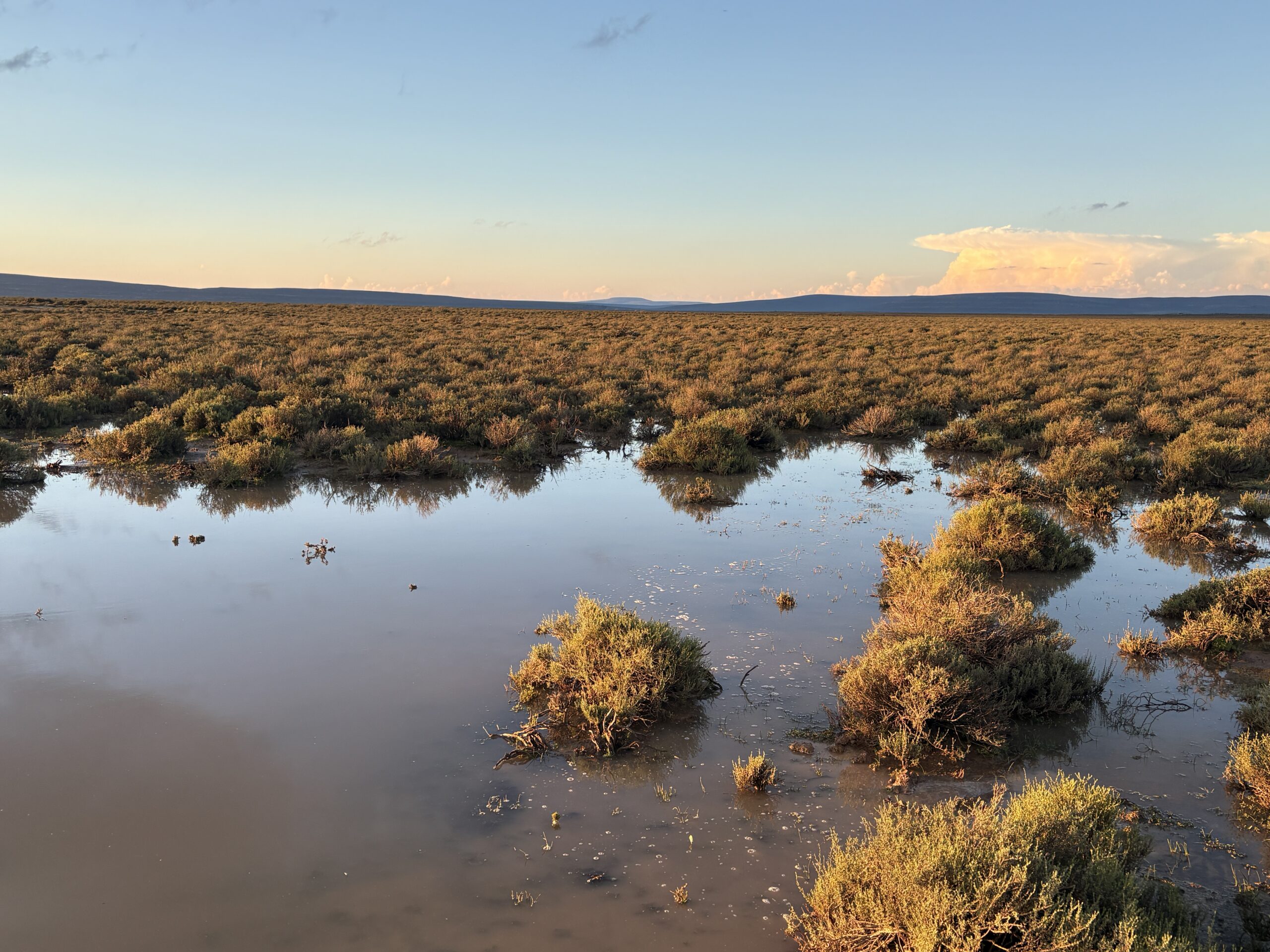
Pic: Justine Ewart-Smith
Expected outcomes
The project is expected to deliver improved wetland ecosystem classification and mapping, field-validated datasets for selected wetland types, practical guidance for national wetland inventories, and stronger regional collaboration on wetland mapping and assessment.
Together, these outputs will provide a foundation for future regional initiatives while enabling governments and practitioners to make better-informed decisions for biodiversity conservation, climate adaptation and sustainable water resource management.
Looking ahead
The next milestone will be the regional technical workshop in October 2026, where technical experts, government representatives and regional partners from South Africa, Angola, Botswana and Namibia will collaborate on approaches for freshwater ecosystem mapping, classification, data integration and reporting.
The workshop will draw on lessons emerging from MWIPP while providing all four participating countries with an opportunity to exchange and document freshwater ecosystem information, technical approaches and reporting needs.
Building on the knowledge and partnerships strengthened through the regional workshop in Botswana and the momentum generated at Ramsar COP15, the upcoming workshop represents another important step towards ensuring that wetland information is more effectively integrated into national planning and international environmental reporting.
By strengthening regional collaboration and improving the quality and accessibility of wetland data, the project will help elevate freshwater ecosystems in national planning and reporting processes, supporting biodiversity conservation, climate resilience and the sustainable management of freshwater ecosystems across southern Africa.