
Across southern Africa, gaps in freshwater ecosystem information continue to present challenges for biodiversity conservation, spatial planning and environmental decision-making. Improving how these ecosystems are mapped, classified and assessed is essential to understanding their extent, condition and ecological importance, and identifying priorities for their conservation and management.
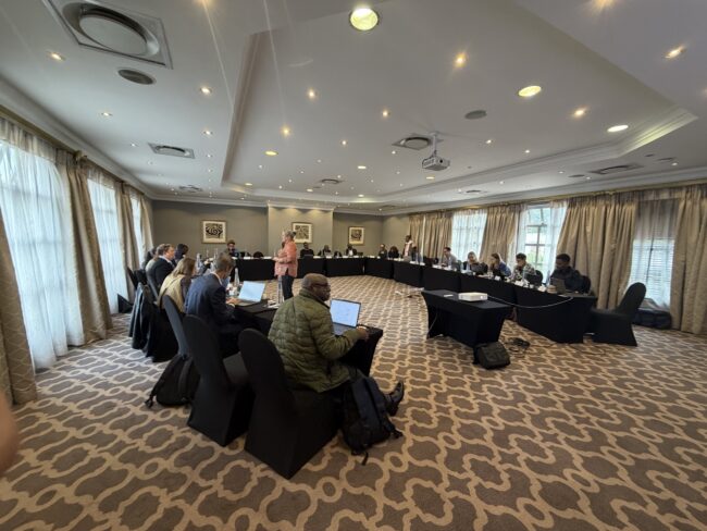
Addressing these challenges was at the centre of a regional technical workshop held in Johannesburg from 5 to 9 October 2026. The workshop brought together freshwater scientists, biodiversity specialists, government representatives and technical experts from South Africa, Angola, Botswana and Namibia to exchange experiences, explore technical approaches and identify opportunities for strengthening freshwater ecosystem information across the region.
Under the title, “Mapping, classification and reporting on freshwater ecosystem types: a southern Africa technical workshop”, the workshop was co-organised by the Office Français de la Biodiversité (OFB) and the South African National Biodiversity Institute (SANBI), together with regional and technical partners.
It forms part of the broader project “Protecting water resources in southern Africa as a key element of climate change adaptation and biodiversity protection”, implemented with the support from the Adour Garonne Water Agency, Expertise France, the French Ministry of Environment and OFB.
Understanding the challenges and opportunities
Freshwater ecosystems, including wetlands, play an important role in supporting biodiversity, water security and climate resilience. However, gaps in available information and differences in mapping and assessment approaches can make it difficult to develop comprehensive and reliable national wetland inventories.
During the workshop, country representatives shared experiences of freshwater ecosystem mapping and assessment in their respective countries, highlighting existing information, technical approaches and challenges. These exchanges provided an opportunity to identify common priorities relating to wetland inventories, ecosystem classification, ecological condition assessment, data integration and biodiversity reporting.
A key focus was the need to strengthen the information available to support national biodiversity planning and reporting, while recognising the different capacities, datasets and institutional arrangements across participating countries.
For Mercy Masego Pelekekae, Natural Resource Officer and National Focal Point at Botswana’s Ministry of Environment and Tourism, the importance of wetland inventories extends beyond the collection of environmental information:
“A wetland inventory means recognising Botswana’s freshwater ecosystems as a national asset and foundation for their protection, sustainable use and benefit for future generations.”
Her perspective highlights the value of reliable wetland information in supporting long-term conservation and sustainable management.
Strengthening wetland inventories through technical collaboration
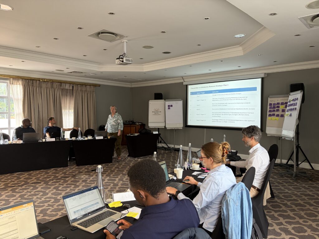
Technical discussions focused on three fundamental components of national wetland inventories: wetland extent, ecosystem type and ecological condition.
Participants explored approaches to mapping wetland extent, classification and assessing ecological condition. Discussions considered how field surveys, Earth Observation, desktop mapping, modelling and existing national and global datasets can contribute to improving the accuracy, reliability and usefulness of wetland information.
Participants also examined how species information, ecosystem red listing and local knowledge can complement wetland inventories and support their application in biodiversity assessment and conservation planning.
These discussions drew on experiences from the Multi-scale Wetland Inventory Pilot Project (MWIPP), a collaborative initiative involving SANBI, OFB and technical partners, and focused on strengthening approaches to wetland mapping and assessment in South Africa, Namibia, Botswana and Angola.
By improving information on wetland extent, type and ecological condition, MWIPP aims to strengthen the evidence available for assessing ecosystem risk, identifying conservation priorities and monitoring environmental change over time.
Reflecting on the importance of this work, Joachim Naulaerts, Technical Advisor at the Namibia Nature Foundation, emphasised the connection between wetland inventories and conservation:
“A wetland you haven’t mapped is a wetland you can’t protect. Inventory is where conservation starts – long before policy or funding ever arrive.”
His perspective reinforces the importance of developing reliable wetland inventories as a foundation for informed conservation planning and management.
Identifying practical priorities and next steps
Beyond exchanging technical knowledge, the workshop provided an opportunity for participating countries to identify practical priorities for strengthening national wetland inventories.
Several areas for further work emerged from the discussions, including developing practical and scalable approaches to field and desktop mapping, strengthening data-sharing arrangements and national data custodianship, and establishing desktop-based baselines for assessing ecological condition.
Participants also explored opportunities to improve the integration of species information into wetland ecosystem red listing and other biodiversity assessments, as well as the use of targeted field verification to improve the accuracy and reliability of wetland maps and assessments over time.
These priorities highlighted the importance of combining technical approaches with institutional coordination, accessible information and sustained national capacity.
Through country-specific discussions and regional exchanges, participants considered how these approaches could be adapted to their respective national contexts and contribute to future planning and collaboration.
From wetland information to conservation action
An important message emerging from the workshop was that improving wetland information is not only about developing better maps or datasets, but also about ensuring that the information can be used effectively to inform conservation and management decisions.
Vasco Chiteculo, National Programme Coordinator at the SASSCAL Angola Node Office, reflected on the practical value of wetland inventories:
“What makes a wetland inventory truly valuable is not how we categorise or classify wetlands, but what people are able to do with the information it provides.”
This highlights the importance of ensuring that freshwater ecosystem information is accessible, relevant and useful to those responsible for biodiversity planning, conservation management and environmental decision-making.
Building on regional and international cooperation
The workshop forms part of ongoing cooperation to strengthen freshwater ecosystem knowledge and conservation across southern Africa.
It builds on earlier engagements supported through the broader project, including SANBI’s participation in the 2025 workshop on Monitoring Trajectories of Loss and Change in the Cubango-Okavango River Basin, led by the PLuS Alliance together with Okavango Research Institute, OKACOM and other participants and held in Maun, Botswana, as well as engagement at Ramsar COP15 in Victoria Falls, Zimbabwe.
These activities provided opportunities to exchange knowledge, strengthen technical relationships and connect regional freshwater ecosystem work with broader biodiversity conservation and reporting processes.
The October workshop provided a further opportunity to bring together expertise from different countries and technical disciplines, identify shared challenges and explore opportunities for continued collaboration.
Looking ahead
The workshop highlighted that improving freshwater ecosystem information requires more than technical methods and datasets. Effective data-sharing, institutional cooperation, accessible approaches and the capacity to maintain and apply information over time are equally important.
These discussions and emerging priorities provide a foundation for further work to strengthen national wetland inventories and improve the use of freshwater ecosystem information in biodiversity planning restoration, climate change adaptation and reporting.
Looking ahead, the project also intends to explore potential funding opportunities to scale up the work undertaken through the initiative and support the continued development of national wetland inventories. Sustained regional collaboration will be important in translating the workshop priorities into practical actions that contribute to the conservation and sustainable management of freshwater ecosystems across southern Africa.
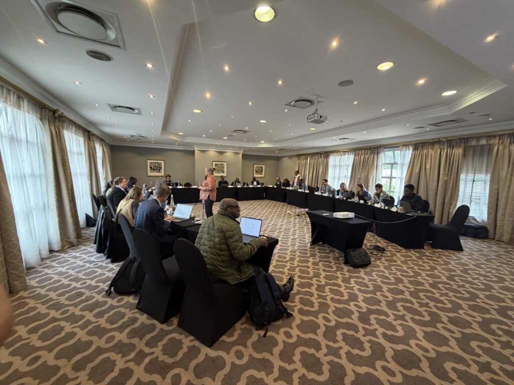
Experts from South Africa, Angola, Botswana and Namibia at the regional technical workshop on mapping, classification and reporting on freshwater ecosystem types, October 2026