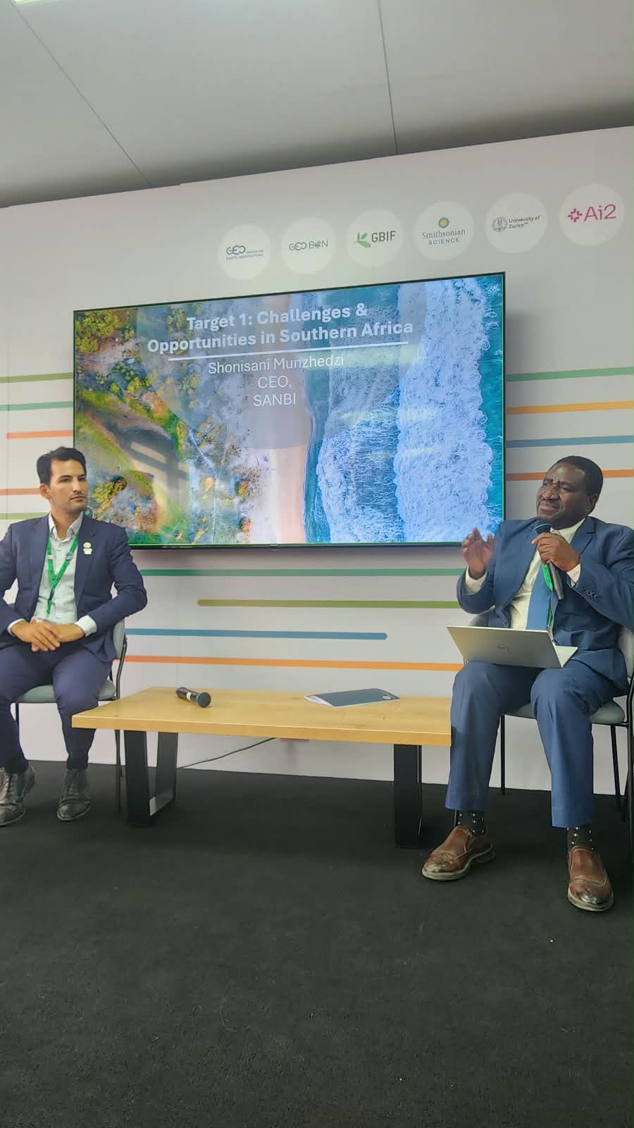
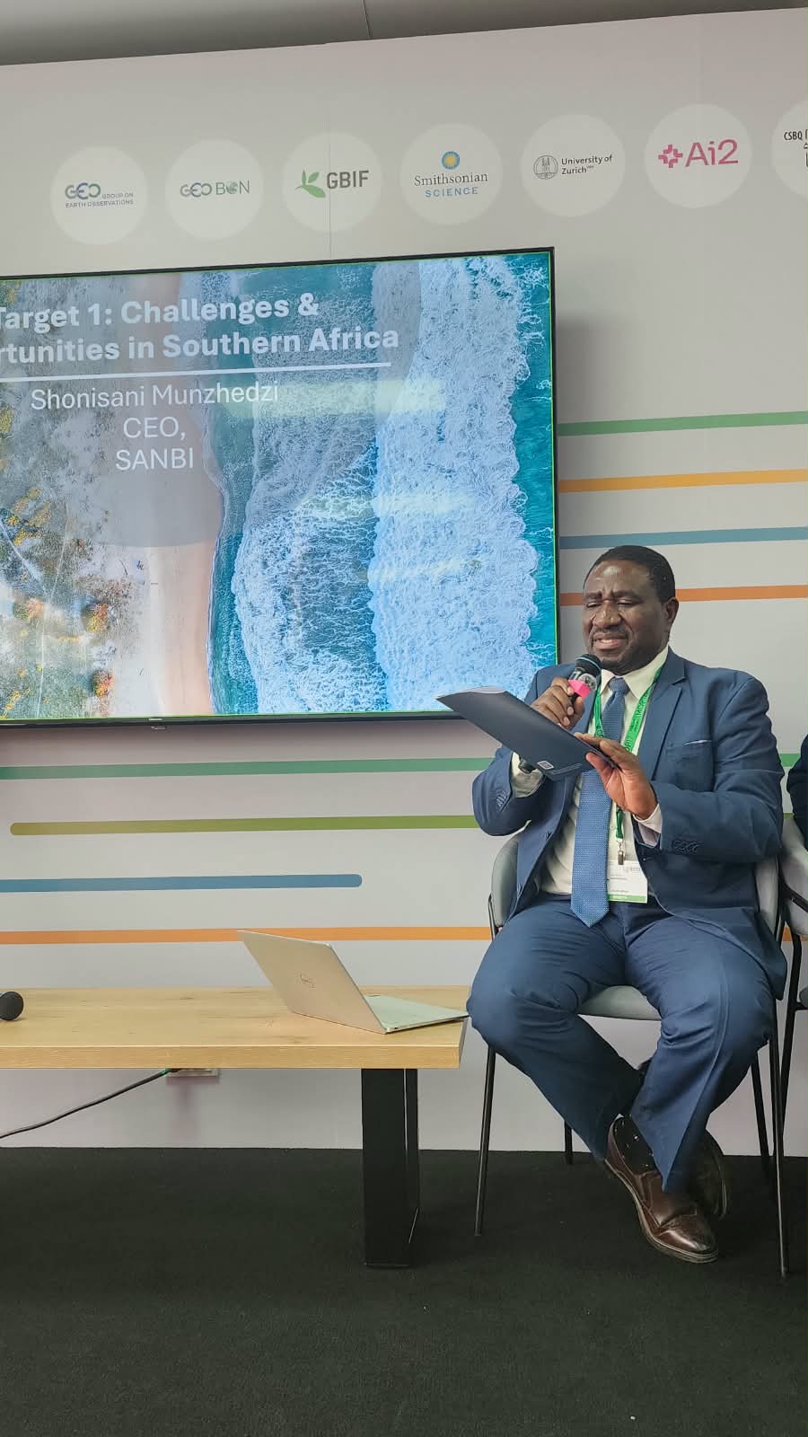
Putting Target 1 into Practice: Using National Spatial Planning to Take Action Across the Kunming-Montreal Global Biodiversity Framework
Distinguished delegates, colleagues and partners,
The Global Biodiversity Framework’s Global Report reinforces the urgency of translating biodiversity commitments into effective action. For countries served by the SANBI Technical and Scientific Cooperation Centre (TSCC), a key challenge is the limited availability of complete, accessible and comparable spatial data, alongside gaps in technical methods, skills, technology and institutional capacity. Our regional capacity-needs assessment found that only 19% of 36 priority data products and assessments were fully in place, while 70% of those not yet in place were considered high priorities by countries. These gaps present an opportunity to strengthen national systems through targeted investment, regional cooperation and practical knowledge exchange.
SANBI brings more than 20 years of experience in national biodiversity assessments and spatial planning, providing a valuable foundation for supporting our nine affiliated countries across southern Africa. Through our flagship, French-funded SBAPP regional project, we are working with South Africa, Namibia, Mozambique and Malawi to strengthen ecosystem mapping, ecological-condition data and Red List of Ecosystems assessments. Beyond developing technical products, SBAPP enables scientific and technical exchange across SADC countries, builds local expertise and improves understanding of ecosystems that cross national borders. Together with other regional initiatives, this work demonstrates how shared methods, peer learning and locally grounded science can strengthen national biodiversity planning.
Spatial data are not simply maps; they are decision-making infrastructure. By integrating ecosystem extent and condition, biodiversity priorities, protected areas, land use and human development needs, spatial planning can identify where to protect, restore, reduce pressures, avoid biodiversity loss and adapt urban areas. South Africa’s Essential Life Support Action Areas approach illustrates how multiple datasets and policy commitments can be brought together to guide investment and development choices. Applied nationally, these approaches can help countries implement and monitor the KMGBF, strengthen National Biodiversity Strategies and Action Plans, and improve reporting across the Rio Conventions and the Sustainable Development Goals. Our priority must be to start with available evidence, improve it iteratively, and invest in the partnerships and capacities needed to turn spatial information into measurable action for people and nature.
Thank you.